

London & North Eastern Railway

London & North Eastern Railway
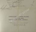
Map of the Northern District, Scottish Area
Large LNER fold-out 1930s linen-backed map, scale 1/2 inch to 1 mile. Covers the lines east of Stirling between the Forth and the Tay, then north from Dundee to Montrose with the last station being Inverbervie. Unmarked blue card covers.